


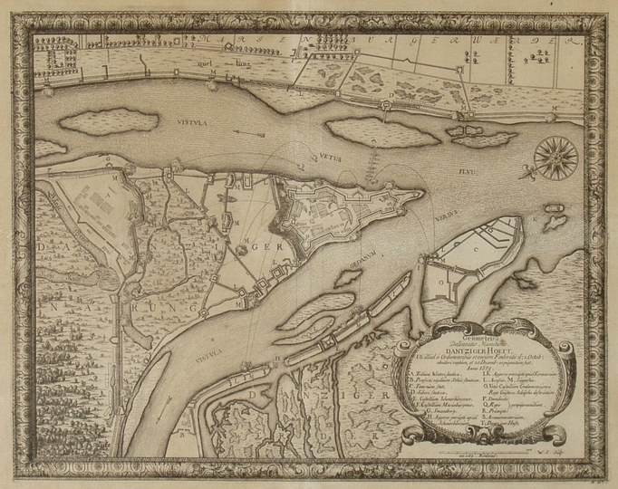
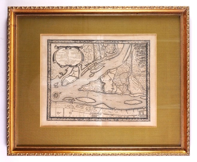
[GDAŃSK]. Geometrica Delineatio Munitionis Dantziger Hoeft [...]. Copperplate engraving, 24.5 x 31.3 cm.
Heyduk 47; Dantiscum G104/3. Plan of the Głowa (Gdańsk Hook) fortress near Gdańsk, in the Vistula Delta, during the siege by the people of Gdańsk in late 1659, taken from S. Pufendorf’s *De rebus a Carolo Gustavo [...]*, Nuremberg 1696. Plate engraved by Willem Swiddle (signed “W.S. sculp.”). “In the foreground are the Gdańsk Żuławy; at the top are the Malbork Żuławy, from which a pontoon bridge, reinforced with a land bridgehead, leads” (Heyduk). The map is surrounded by a decorative copperplate frame. Traces of a central fold; the paper is slightly yellowed. With passe-partout, wooden frame.











Laatst bekeken
Log in om de kavellijst in te zien
Favorieten
Log in om de kavellijst in te zien