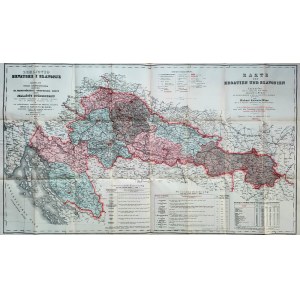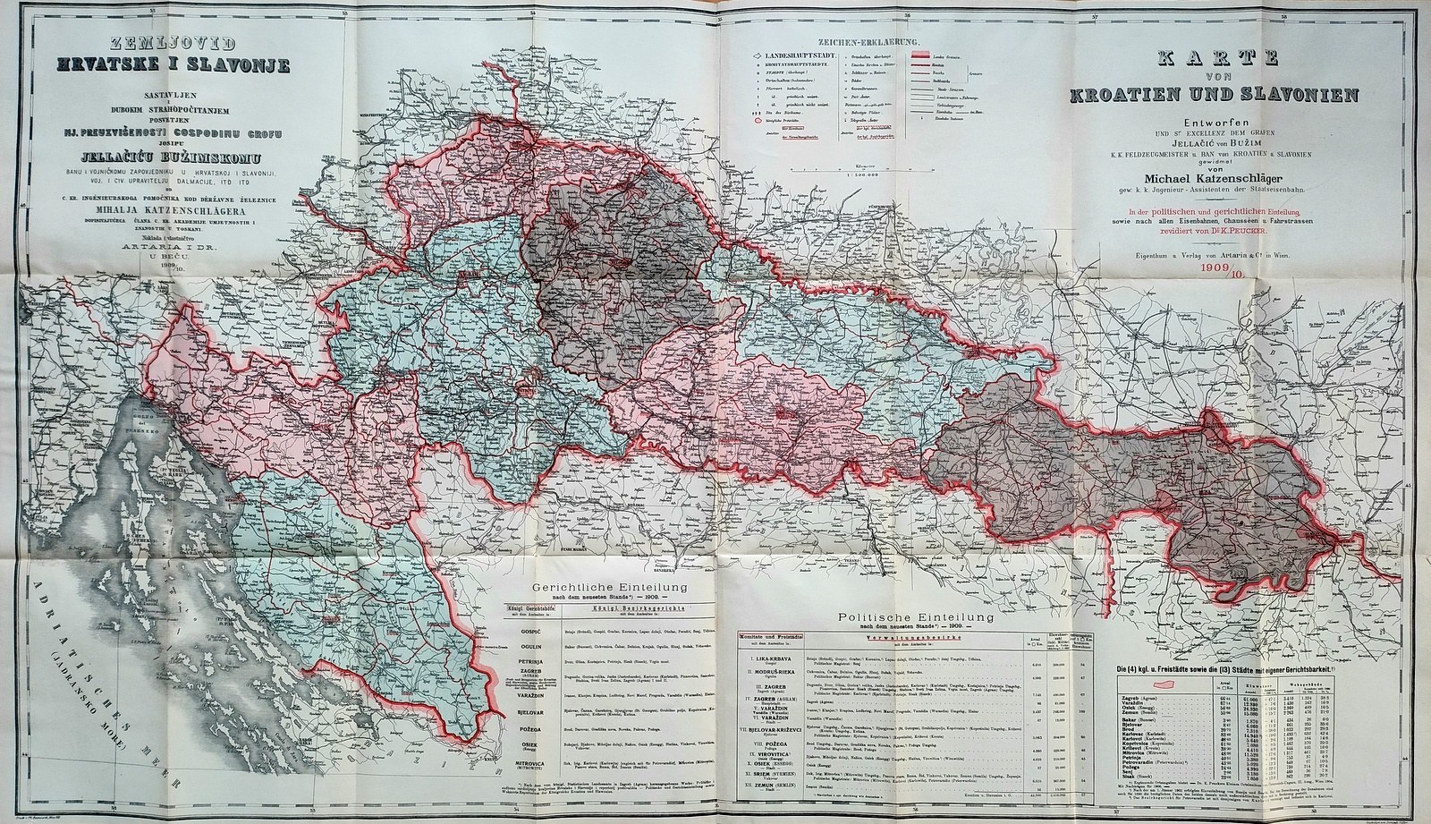
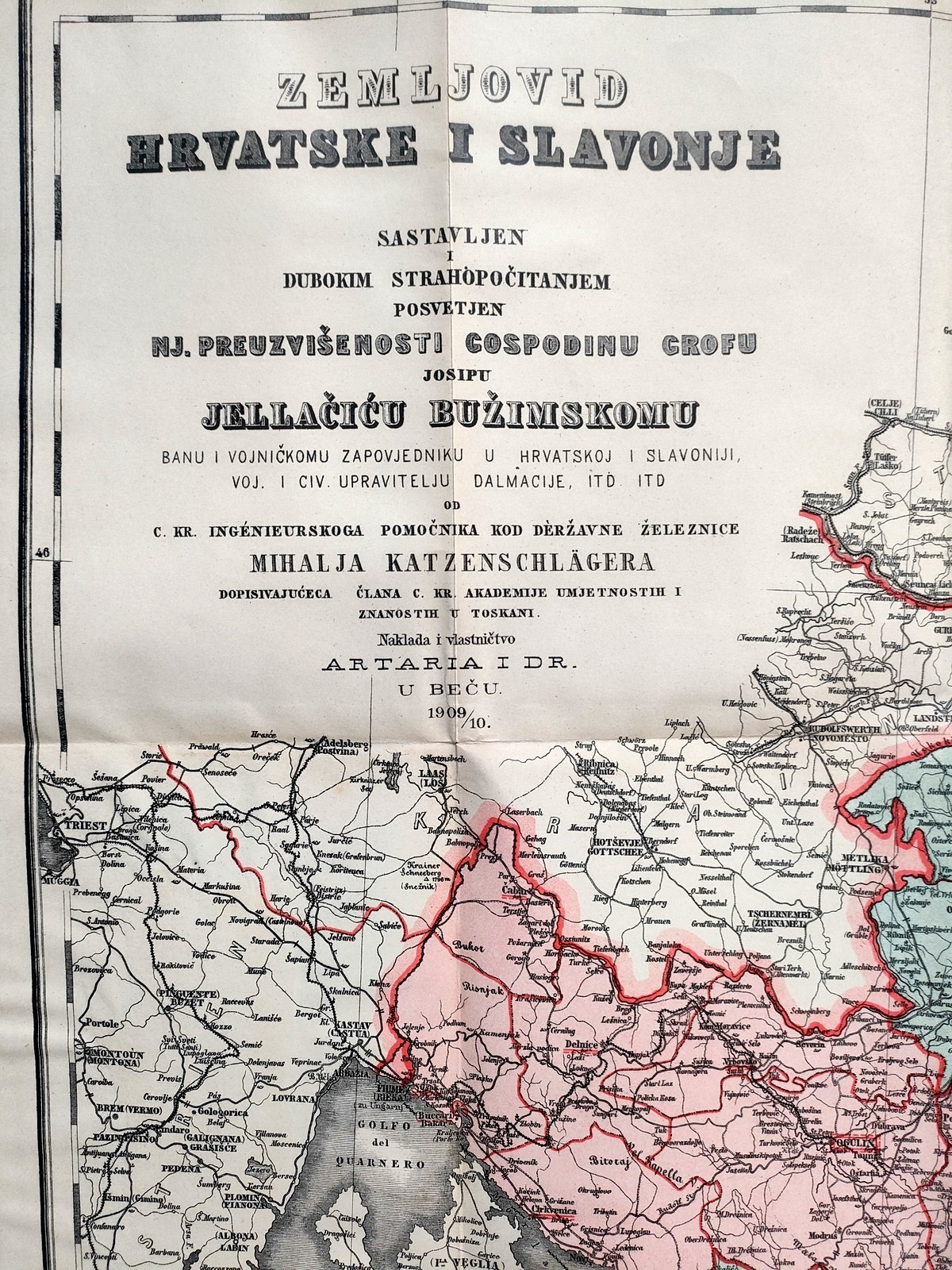
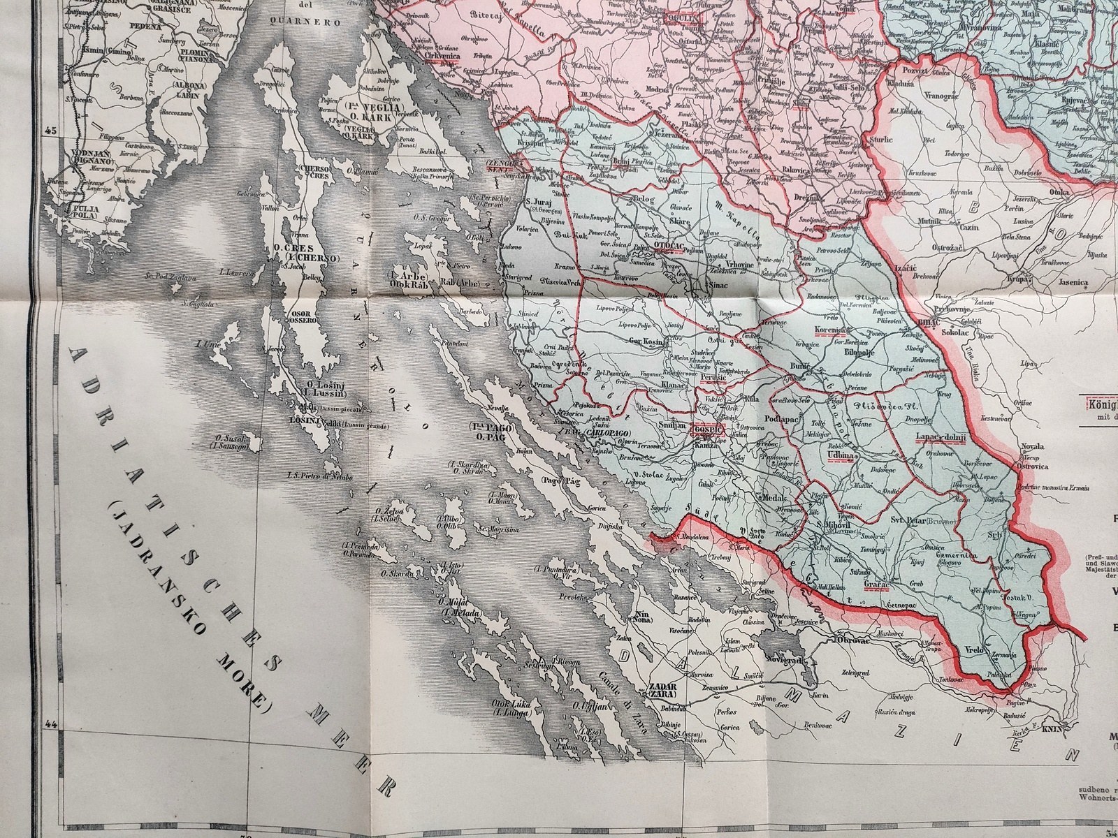
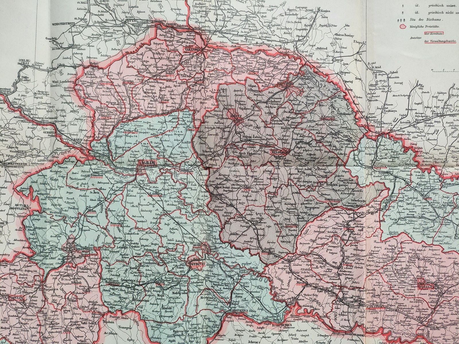
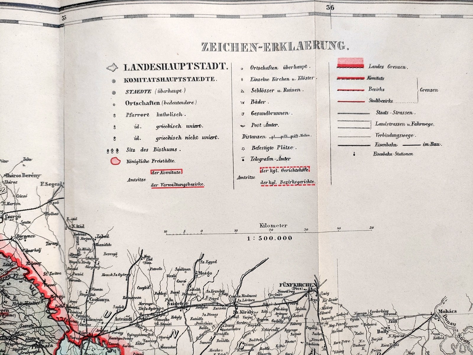
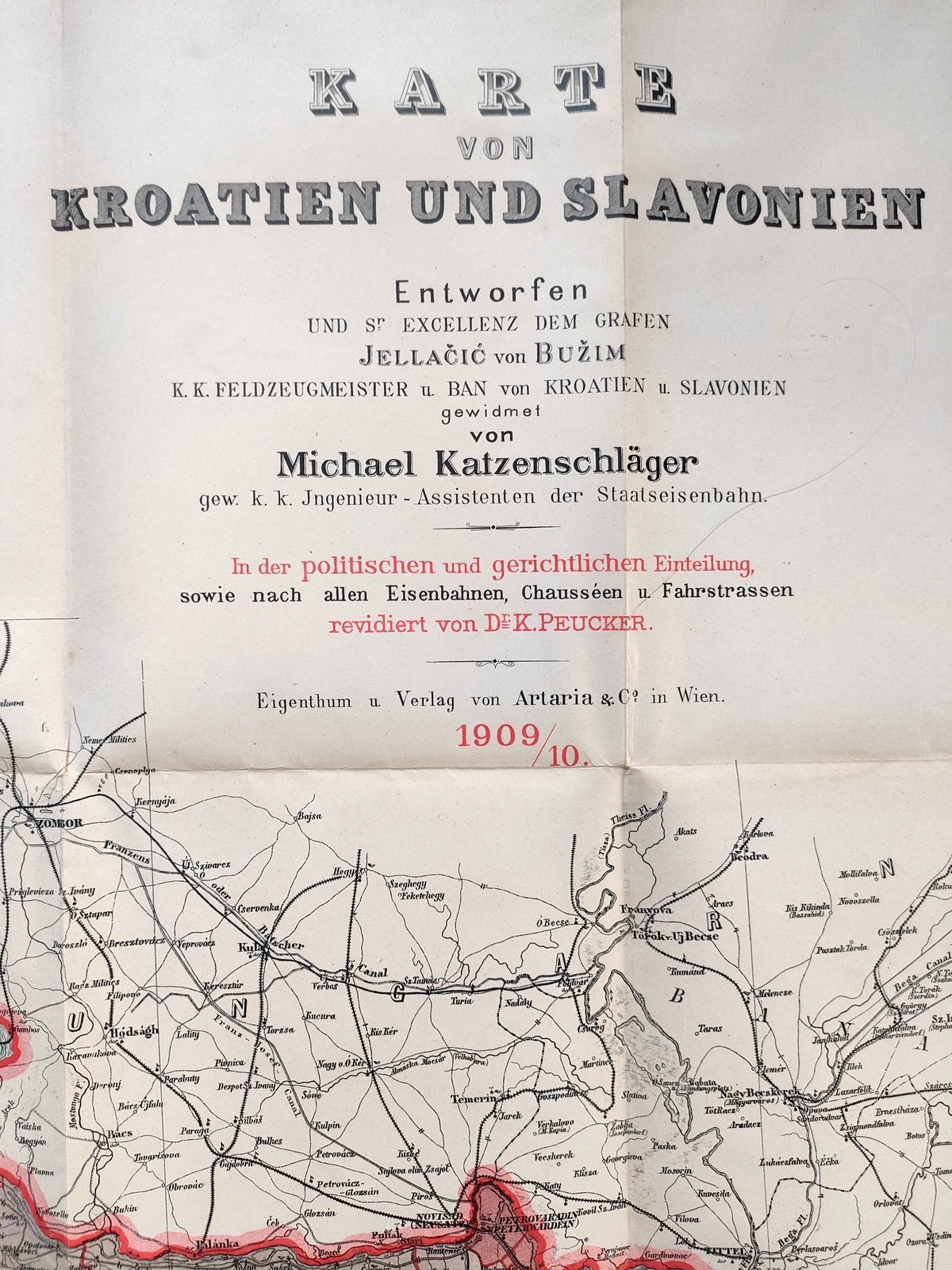
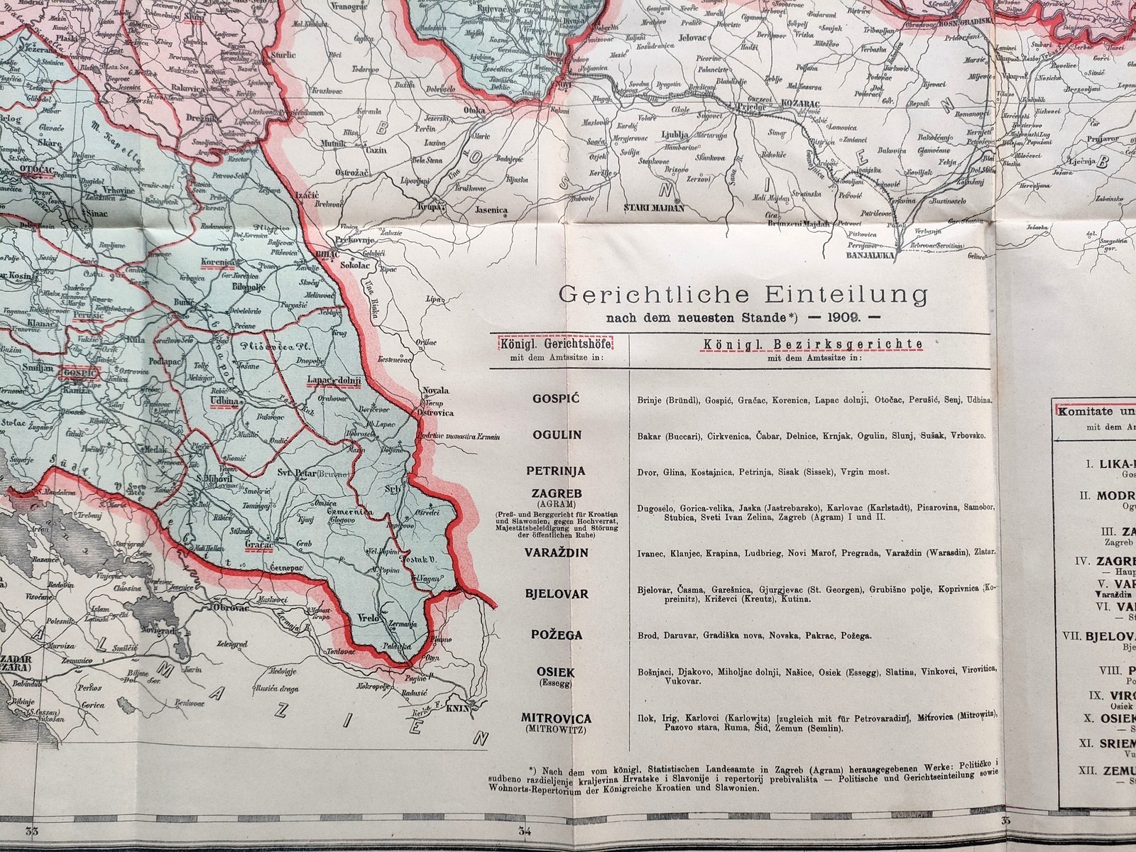
Karte von Kroazien und Slavonien - Map of Croatia and Slavonia, dedicated to Count Jellacic von Buzim, designed by M. Katzenschlager and K. Peucker - Wien 1909/10
Engraved by Dominik Biller
Print : Banwarth Wien
The map covers the area from Belgrade in Serbia to Trieste in Italy.
" Karte von Kroatien und Slavonien. Entworfen und Sr. Excellenz dem Grafen Jellacic von Buzim, k. k. Feldzeugmeister u. Ban von Kroatien u. Slavonien gewidmet von Michael Katzenschläger, gew. k. k. Ingenieur-Assistenten der Staatseisenbahn. In der politischen und gerichtlichen Einteilung, sowie nach allen Eisenbahnen, Chausséen u. Fahrstrassen revidiert von Dr. K. Peucker "
Map in original publisher's hardcover with titling in German and Croatian. Map - paper, color lithography.
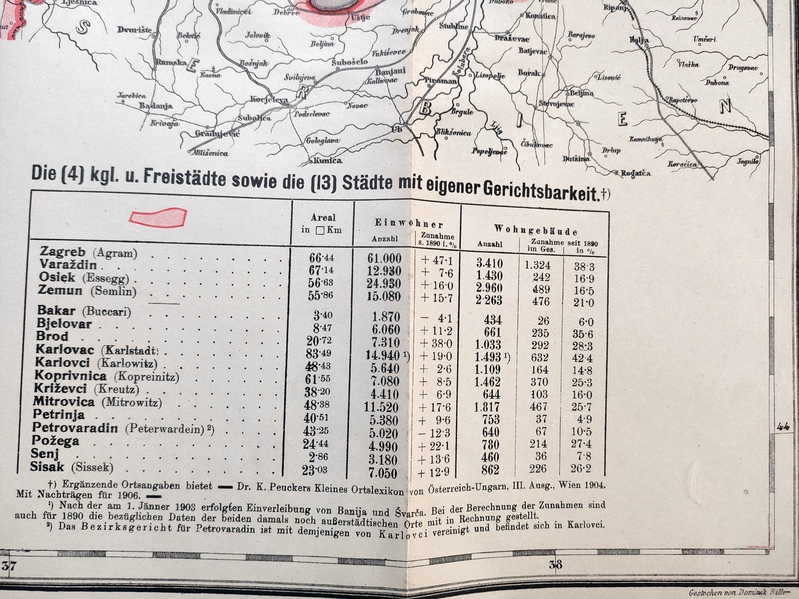
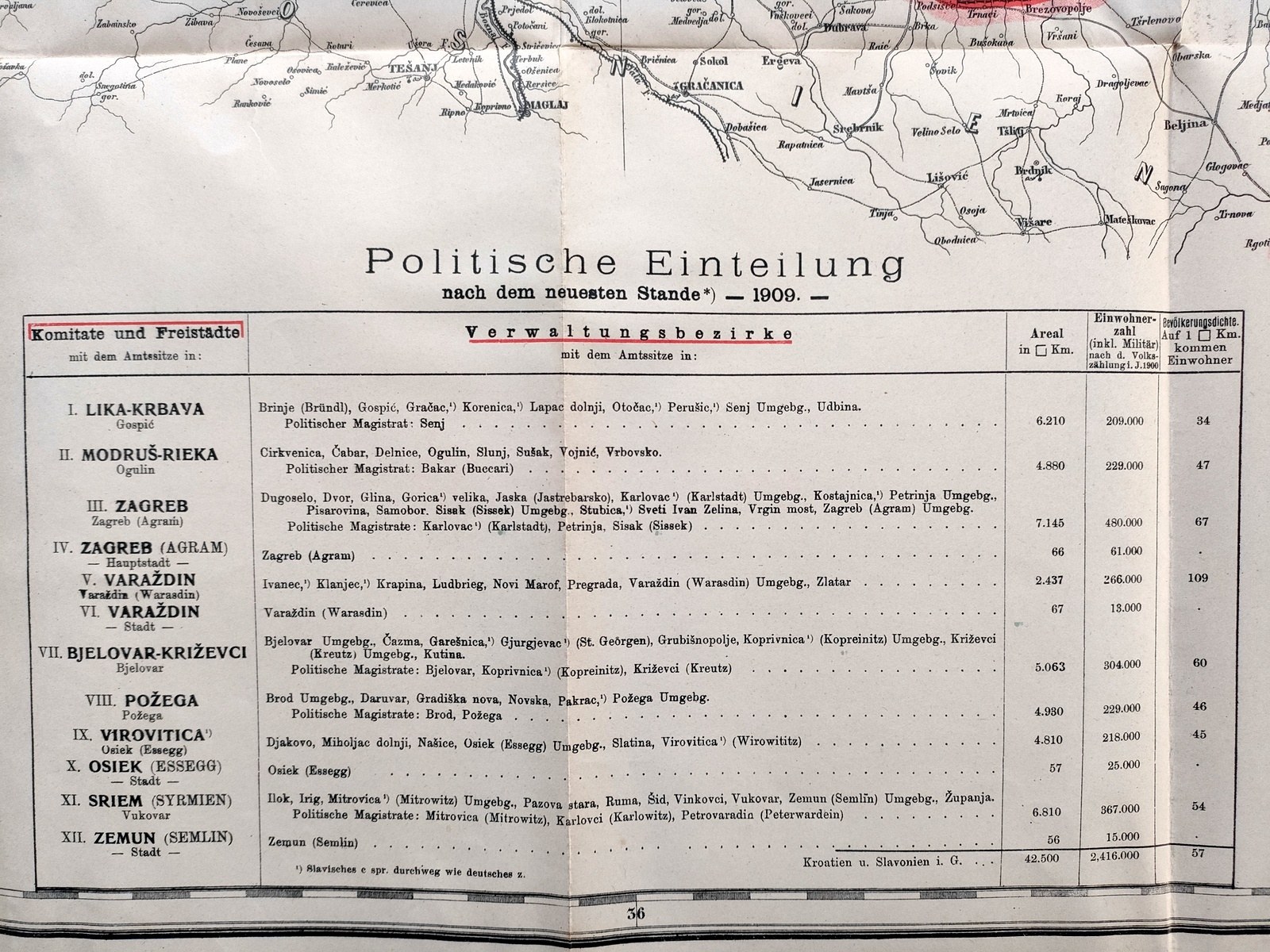
Soiling of the covers. Map in perfect condition.Very detailed map of Croatia and Slavonia with explanatory key and 3 tables showing judicial and political divisions according to the latest survey of 1909 and major cities with details of their areas, populations and buildings.
Very rare large map.
Format : 65.5 x 116 [cm].
Josip Jelačić (German: Joseph Jelačić von Bužim) (born October 16, 1801 in Petrovaradina, died. May 20, 1859 in Zagreb) - Croatian count and ban (1848-1859), artillery general of the Army of the Austrian Empire, governor and commanding general in Croatia and Slavonia, governor of Rijeka[1], suppressed the revolution in Vienna and the Hungarian uprising of 1848-1849 (commanded the army against Joseph Bem).
Slavonia (also Polish: Slavonia, Croatian: Slavonija) - a historical land in eastern Croatia, located between the Sava and Drava rivers. The Srem region is often included in it.