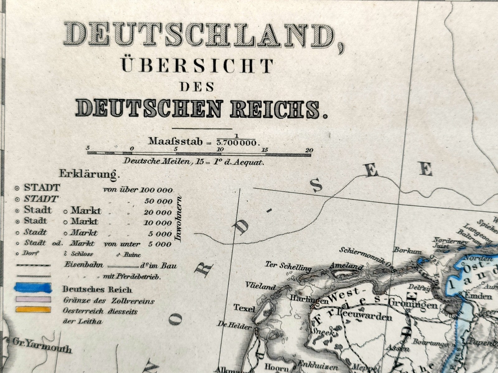
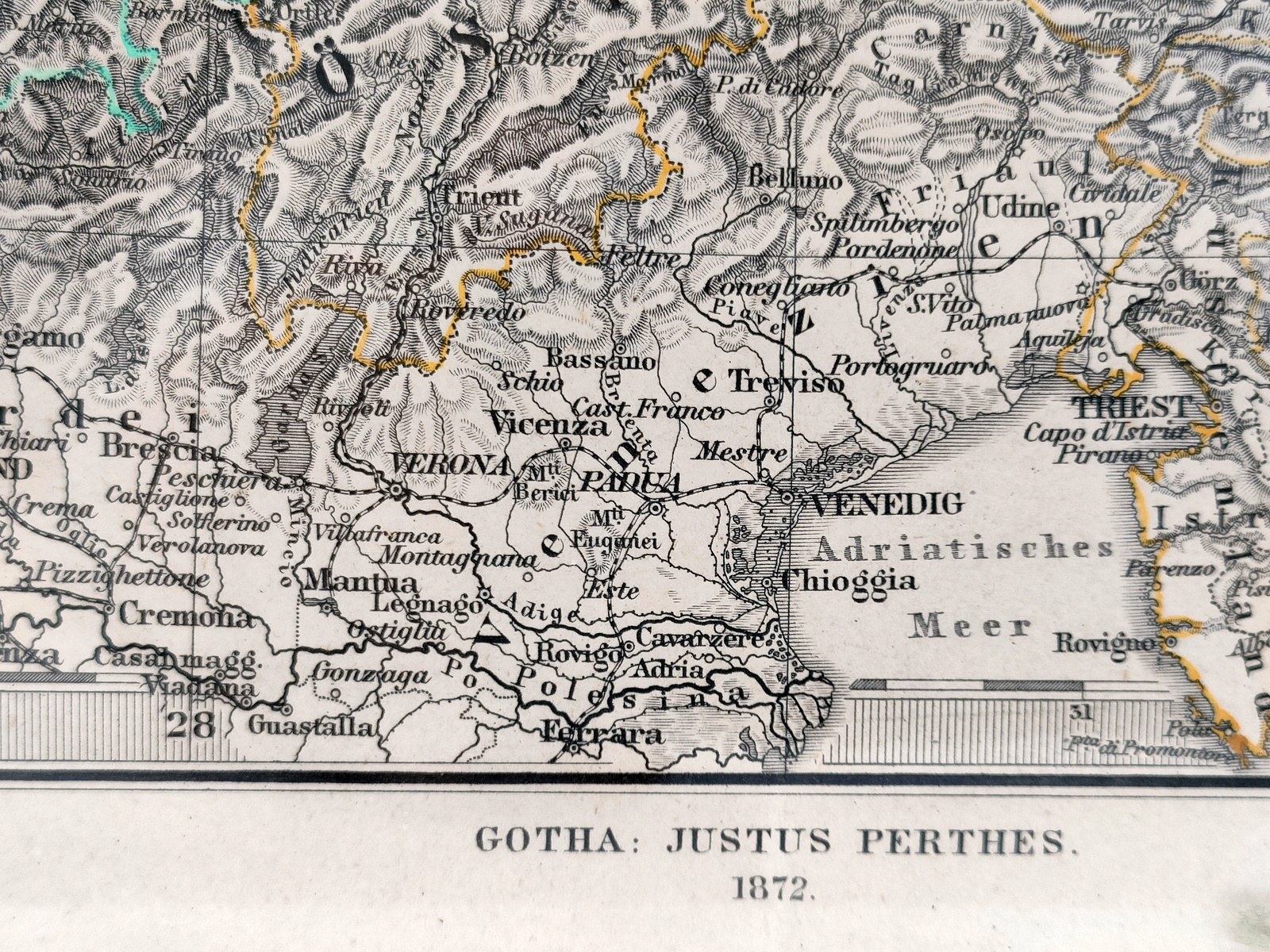
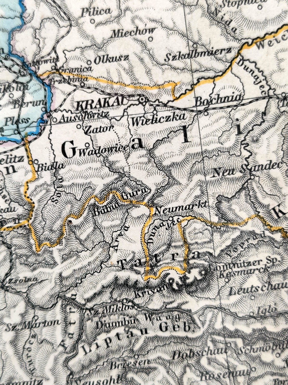

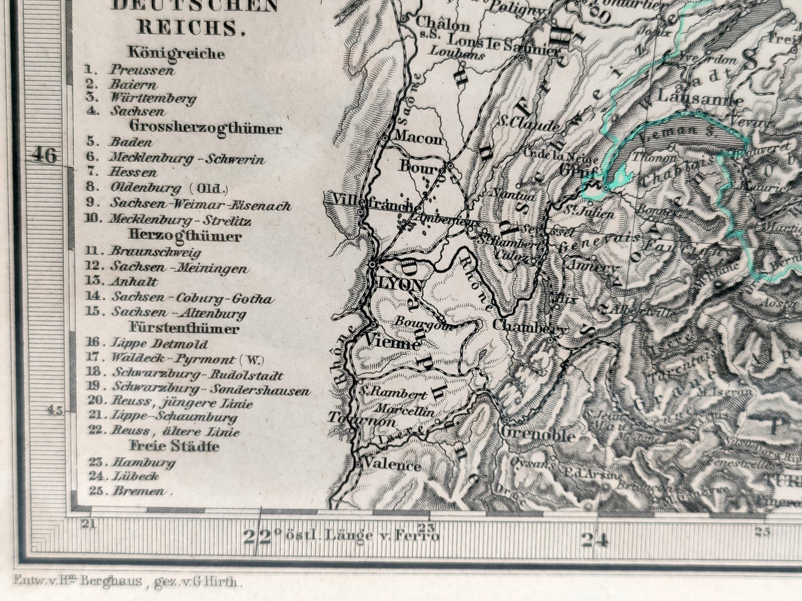

Political map of Germany, Austria, Switzerland, parts of Poland and Hungary - intaglio with hand-colored borders.
It comes from Adolf Stieler's Atlas, published in 1872 by Gotha: Justus Perthes.
The map is extremely detailed. And aclose examination ofitshows many features that one would expect only on much larger maps.
Map in a wooden frame behind glass. Overall format : 39 x 46 [cm].
Very good condition.