[Das Generalgouvernement] Map of the General Government (1939-1945, territory under German occupation).
Measures 24.5 x 31 cm, loss in upper margin, fold marks.


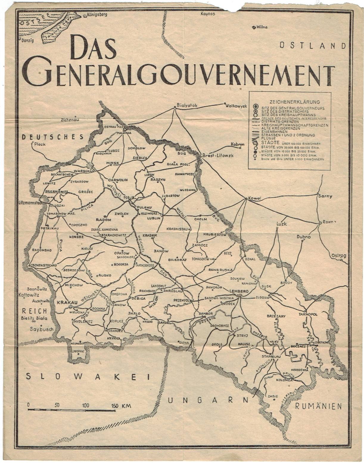
[Das Generalgouvernement] Map of the General Government (1939-1945, territory under German occupation).
Measures 24.5 x 31 cm, loss in upper margin, fold marks.

Antykwariat Welin - starodruki.com
Alle kavels worden geveild
| 1 | |||
| > | 10 | ||
| 200 | |||
| > | 20 | ||
| 500 | |||
| > | 50 | ||
| 1 000 | |||
| > | 100 | ||
| 2 000 | |||
| > | 200 | ||
| 5 000 | |||
| > | 500 | ||
| 10 000 | |||
| > | 1 000 | ||
| ∞ | |||


X
Naam